Maersk Aras
Current StatusWhere is the vessel?
Maersk Aras is currently in 84 nm SE of Port Edward, based on AIS data received about 14h ago.
Latest AIS update:
Current position: 32.18139° S, 31.19924° E (84 nm SE of Port Edward)
Average speed (last 7 days): Loading…
Average speed (last 30 days): Loading…
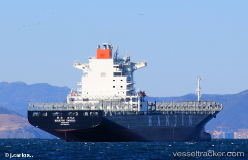
Vessel profile: Maersk Aras is a Container Ship with dimensions 38m x 255m.
This page combines live AIS, route history, probable destination signals, nearby traffic, and port activity for practical vessel monitoring.
The current position of vessel Maersk Aras is -32.18139 lat / 31.19924 lng. Updated: 2026-05-21 07:15:16 UTCNearest reference points:
- 125 nm SE of Port Edward
- 23 nm E of Port Saint John's
- Near Island View
Details:
Live Vessel Maersk Aras Analytics (details, animations, etc.)
Recent AIS points (UTC):
2026-05-21 03:52:52 UTC · -31.82837, 32.14146 · SOG 15.5 kn · COG 251°2026-05-21 04:35:04 UTC · -31.89181, 31.94537 · SOG 15.3 kn · COG 250°
2026-05-21 05:24:46 UTC · -31.97920, 31.71754 · SOG 15.4 kn · COG 250°
2026-05-21 07:15:16 UTC · -32.18139, 31.19924 · SOG 15.7 kn · COG 250°