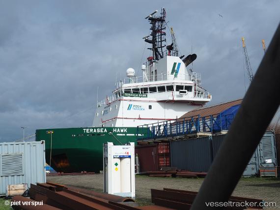
Terasea Hawk
Current StatusWhere is the vessel?
Terasea Hawk is currently in 14 nm W of Cape Of Good Hope, based on AIS data received about 15h ago.
Latest AIS update:
Current position: 34.42769° S, 18.10904° E (14 nm W of Cape Of Good Hope)
Average speed (last 7 days): Loading…
Average speed (last 30 days): Loading…
Vessel profile: Terasea Hawk is a [tug.offshore_tug_supply] with dimensions 18m x 75m.
This page combines live AIS, route history, probable destination signals, nearby traffic, and port activity for practical vessel monitoring.
The current position of vessel Terasea Hawk is -34.42769 lat / 18.10904 lng. Updated: 2026-05-19 13:35:24 UTCNearest reference points:
- 18 nm SW of Cape Of Good Hope
- Near HOUT BAY
- Near Mitchells Plain
Details:
Live Vessel Terasea Hawk Analytics (details, animations, etc.)
Recent AIS points (UTC):
2026-05-19 10:25:55 UTC · -34.65896, 18.45146 · SOG 7.6 kn · COG 276°2026-05-19 12:02:44 UTC · -34.56206, 18.23018 · SOG 6.3 kn · COG 328°
2026-05-19 13:09:37 UTC · -34.46653, 18.14161 · SOG 6.4 kn · COG 333°
2026-05-19 13:35:24 UTC · -34.42769, 18.10904 · SOG 6.8 kn · COG 340°