 Cap Andreas
Current Status
Where is the vessel?
Cap Andreas is currently in 27 nm SW of Okha, based on AIS data received about 14h ago.
Latest AIS update:
Current position: 22.26350° N, 68.66429° E (27 nm SW of Okha)
Average speed (last 7 days): Loading…
Average speed (last 30 days): Loading…
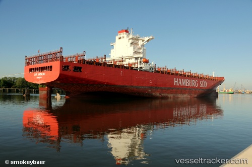
Vessel profile: Cap Andreas is a Container Ship with dimensions 271m x 43m.
This page combines live AIS, route history, probable destination signals, nearby traffic, and port activity for practical vessel monitoring.
The current position of vessel Cap Andreas is 22.26350 lat / 68.66429 lng. Updated: 2026-05-22 19:49:01 UTCNearest reference points:
- 13 nm W of Måndvi
- 49 nm S of Positra
- 54 nm S of Positra
Currently sailing under the flag of Liberia ![]()
Cap Andreas built in 2013 year
Deadweight:
80547 tDetails:
Live Vessel Cap Andreas Analytics (details, animations, etc.)
Recent AIS points (UTC):
2026-05-22 16:46:38 UTC · 22.25998, 68.66387 · SOG 0 kn · COG 315°2026-05-22 17:34:38 UTC · 22.26159, 68.66504 · SOG 0 kn · COG 282°
2026-05-22 19:19:38 UTC · 22.26340, 68.66439 · SOG 0 kn · COG 213°
2026-05-22 19:49:01 UTC · 22.26350, 68.66429 · SOG 0 kn · COG -1°