 ARGEUS
Current Status
Where is the vessel?
ARGEUS is currently in 312 nm N of Ramalde, based on AIS data received about 15h ago.
Latest AIS update:
Current position: 36.00223° S, 9.32916° W (312 nm N of Ramalde)
Average speed (last 7 days): Loading…
Average speed (last 30 days): Loading…
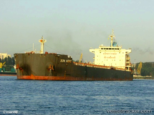
Vessel profile: ARGEUS is a Cargo with dimensions m x m.
This page combines live AIS, route history, probable destination signals, nearby traffic, and port activity for practical vessel monitoring.
The current position of vessel ARGEUS is -36.00223 lat / -9.32916 lng. Updated: 2026-05-19 13:30:10 UTCNearest reference points:
- Open sea, approx. 400 nm off the nearest listed port
- Open sea, approx. 401 nm off the nearest listed port
- Open sea (no nearby ports in database)
Currently sailing under the flag of Marshall Islands ![]()
Details:
Live Vessel ARGEUS Analytics (details, animations, etc.)
Recent AIS points (UTC):
2026-05-19 10:57:20 UTC · -35.91833, -9.82333 · SOG 9 kn · COG -1°2026-05-19 12:26:26 UTC · -35.96817, -9.53472 · SOG 9.7 kn · COG 101°
2026-05-19 13:30:10 UTC · -36.00223, -9.32916 · SOG 9.4 kn · COG 104°
2026-05-19 13:30:10 UTC · -36.00223, -9.32916 · SOG 9.4 kn · COG 104°