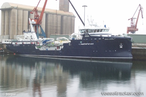
 RONIA POLARIS
Current Status
Where is the vessel?
RONIA POLARIS is currently in Near Puerto Montt, based on AIS data received about 15h ago.
Latest AIS update:
Current position: 41.51763° S, 73.01328° W (Near Puerto Montt)
Average speed (last 7 days): Loading…
Average speed (last 30 days): Loading…
Vessel profile: RONIA POLARIS is a Fish Carrier with dimensions m x m.
This page combines live AIS, route history, probable destination signals, nearby traffic, and port activity for practical vessel monitoring.
The current position of vessel RONIA POLARIS is -41.51763 lat / -73.01328 lng. Updated: 2026-05-19 11:21:40 UTCNearest reference points:
- Near Puerto Montt
- Near Chonchi
- Near Quellón (Puerto Quellón)
Details:
Live Vessel RONIA POLARIS Analytics (details, animations, etc.)
Recent AIS points (UTC):
2026-05-19 08:06:24 UTC · -41.51745, -73.01340 · SOG 0 kn · COG 220°2026-05-19 10:03:27 UTC · -41.51748, -73.01347 · SOG 0 kn · COG 213°
2026-05-19 10:41:28 UTC · -41.51667, -73.01333 · SOG 0 kn · COG -1°
2026-05-19 11:21:40 UTC · -41.51763, -73.01328 · SOG 0 kn · COG 253°