 RAMHAN
Current Status
Where is the vessel?
RAMHAN is currently in 136 nm E of Tan Cang Qui Nhon, based on AIS data received about 14h ago.
Latest AIS update:
Current position: 13.59110° N, 112.14970° E (136 nm E of Tan Cang Qui Nhon)
Average speed (last 7 days): Loading…
Average speed (last 30 days): Loading…
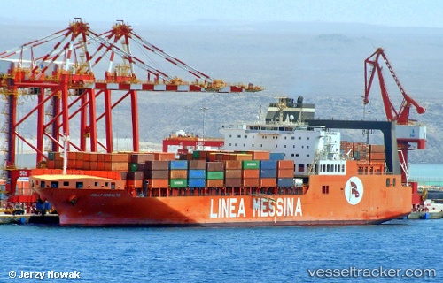
Vessel profile: RAMHAN is a Cargo with dimensions m x m.
This page combines live AIS, route history, probable destination signals, nearby traffic, and port activity for practical vessel monitoring.
The current position of vessel RAMHAN is 13.59110 lat / 112.14970 lng. Updated: 2026-05-18 21:58:25 UTCNearest reference points:
- 222 nm E of Tan Cang Qui Nhon
- 232 nm E of Tan Cang Qui Nhon
- 226 nm SE of Tan Cang Qui Nhon
Currently sailing under the flag of Marshall Islands ![]()
Details:
Live Vessel RAMHAN Analytics (details, animations, etc.)
Recent AIS points (UTC):
2026-05-18 18:08:30 UTC · 12.63090, 111.66137 · SOG 16.6 kn · COG 28°2026-05-18 19:47:28 UTC · 13.04315, 111.87123 · SOG 16.8 kn · COG 27°
2026-05-18 19:47:28 UTC · 13.04315, 111.87123 · SOG 16.8 kn · COG 27°
2026-05-18 21:58:25 UTC · 13.59110, 112.14970 · SOG 17.2 kn · COG 27°