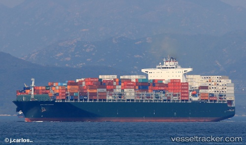
 CMA CGM CONGO
Current Status
Where is the vessel?
CMA CGM CONGO is currently in Near Tybee Island, based on AIS data received about 14h ago.
Latest AIS update:
Current position: 32.03188° N, 80.82061° W (Near Tybee Island)
Average speed (last 7 days): Loading…
Average speed (last 30 days): Loading…
Vessel profile: CMA CGM CONGO is a Cargo A with dimensions m x m.
This page combines live AIS, route history, probable destination signals, nearby traffic, and port activity for practical vessel monitoring.
The current position of vessel CMA CGM CONGO is 32.03188 lat / -80.82061 lng. Updated: 2026-05-18 21:56:25 UTCNearest reference points:
- Near Saint Andrews
- 33 nm S of Kiawah Island
- Near Brunswick
Currently sailing under the flag of Malta ![]()
Details:
Live Vessel CMA CGM CONGO Analytics (details, animations, etc.)
Recent AIS points (UTC):
2026-05-18 17:35:18 UTC · 32.01193, -80.01143 · SOG 10.1 kn · COG 253°2026-05-18 19:38:47 UTC · 31.94810, -80.36014 · SOG 8.4 kn · COG 260°
2026-05-18 20:06:58 UTC · 31.94268, -80.43916 · SOG 8.8 kn · COG 270°
2026-05-18 21:56:25 UTC · 32.03188, -80.82061 · SOG 15.3 kn · COG 301°