 vesseltracker.com
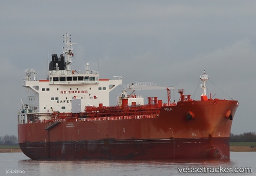
 VELA
VELA
Current Status
Where is the vessel?
VELA is currently in 296 nm W of Iba, based on AIS data received about 17h ago.
Latest AIS update:
Current position: 14.83958° N, 114.89187° E (296 nm W of Iba)
Average speed (last 7 days): Loading…
Average speed (last 30 days): Loading…
Vessel profile: VELA is a Tanker B with dimensions m x m.
This page combines live AIS, route history, probable destination signals, nearby traffic, and port activity for practical vessel monitoring.
The current position of vessel VELA is 14.83958 lat / 114.89187 lng. Updated: 2026-05-18 09:34:09 UTCNearest reference points:
- 282 nm E of Tan Cang Qui Nhon
- 222 nm W of Iba
- 232 nm E of Tan Cang Qui Nhon
Currently sailing under the flag of Singapore ![]()
Details:
Live Vessel VELA Analytics (details, animations, etc.)
Recent AIS points (UTC):
2026-05-17 10:56:30 UTC · 11.17828, 111.72480 · SOG 13 kn · COG 39°2026-05-17 10:56:30 UTC · 11.17828, 111.72480 · SOG 13 kn · COG 39°
2026-05-18 09:34:09 UTC · 14.83958, 114.89187 · SOG 12.6 kn · COG -1°
2026-05-18 09:34:09 UTC · 14.83958, 114.89187 · SOG 12.6 kn · COG -1°