 vesseltracker.com
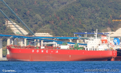
 VAN
VAN
Current Status
Where is the vessel?
VAN is currently in 18 nm NE of Bañaderos, based on AIS data received about 16h ago.
Latest AIS update:
Current position: 29.03190° N, 15.35281° W (18 nm NE of Bañaderos)
Average speed (last 7 days): Loading…
Average speed (last 30 days): Loading…
Vessel profile: VAN is a Tanker with dimensions m x m.
This page combines live AIS, route history, probable destination signals, nearby traffic, and port activity for practical vessel monitoring.
The current position of vessel VAN is 29.03190 lat / -15.35281 lng. Updated: 2026-05-18 01:35:54 UTCNearest reference points:
- Near Las Palmas
- Near Las Palmas de Gran Canaria
- Near TALIARTE
Currently sailing under the flag of Marshall Islands ![]()
Details:
Live Vessel VAN Analytics (details, animations, etc.)
Recent AIS points (UTC):
2026-05-17 22:20:34 UTC · 29.62222, -15.14022 · SOG 11.6 kn · COG 196°2026-05-17 23:30:04 UTC · 29.41423, -15.21270 · SOG 11 kn · COG 198°
2026-05-18 01:28:29 UTC · 29.05527, -15.34181 · SOG 12.1 kn · COG 201°
2026-05-18 01:35:54 UTC · 29.03190, -15.35281 · SOG 12.2 kn · COG 206°