 TOPEKA
Current Status
Where is the vessel?
TOPEKA is currently in 25 nm N of Port Hedland, based on AIS data received about 14h ago.
Latest AIS update:
Current position: 19.87466° S, 118.52984° E (25 nm N of Port Hedland)
Average speed (last 7 days): Loading…
Average speed (last 30 days): Loading…
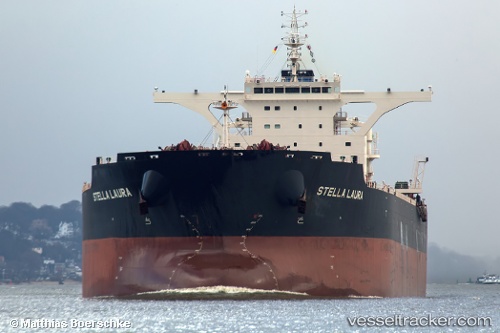
Vessel profile: TOPEKA is a Bulk Carrier with dimensions 295m x 46m.
This page combines live AIS, route history, probable destination signals, nearby traffic, and port activity for practical vessel monitoring.
The current position of vessel TOPEKA is -19.87466 lat / 118.52984 lng. Updated: 2026-05-18 18:10:57 UTCNearest reference points:
- 11 nm E of Port Walcot
- 116 nm NE of Mutineer
- 121 nm NE of Mutineer
Currently sailing under the flag of Malta ![]()
TOPEKA built in 2015 year
Deadweight:
179549 tDetails:
Live Vessel TOPEKA Analytics (details, animations, etc.)
Recent AIS points (UTC):
2026-05-18 14:18:20 UTC · -19.87565, 118.53144 · SOG 0.1 kn · COG 73°2026-05-18 16:12:16 UTC · -19.87512, 118.53107 · SOG 0.5 kn · COG 111°
2026-05-18 16:18:21 UTC · -19.87571, 118.53088 · SOG 0.1 kn · COG 82°
2026-05-18 18:10:57 UTC · -19.87466, 118.52984 · SOG 0.2 kn · COG -1°