 vesseltracker.com
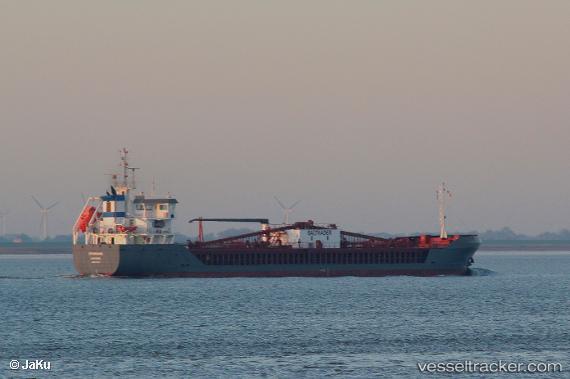
 Cembrook
Current Status
Where is the vessel?
Cembrook is currently in Near Las Casas de Alcanar, based on AIS data received about 14h ago.
Latest AIS update:
Current position: 40.57201° N, 0.55098° E (Near Las Casas de Alcanar)
Average speed (last 7 days): Loading…
Average speed (last 30 days): Loading…
Vessel profile: Cembrook is a Cement Carrier with dimensions 100m x 15m.
This page combines live AIS, route history, probable destination signals, nearby traffic, and port activity for practical vessel monitoring.
The current position of vessel Cembrook is 40.57201 lat / 0.55098 lng. Updated: 2026-05-17 19:33:25 UTCNearest reference points:
- Near San Carlos de la Rápita
- Near OROPESA DEL MAR
- Near CAMBRILS
Currently sailing under the flag of Cyprus ![]()
Details:
Live Vessel Cembrook Analytics (details, animations, etc.)
Recent AIS points (UTC):
2026-05-17 15:56:46 UTC · 40.56792, 0.56336 · SOG 5.1 kn · COG 318°2026-05-17 16:16:06 UTC · 40.57181, 0.55188 · SOG 0.6 kn · COG 43°
2026-05-17 18:07:15 UTC · 40.57200, 0.55098 · SOG 0 kn · COG 64°
2026-05-17 19:33:25 UTC · 40.57201, 0.55098 · SOG 0 kn · COG 64°