 AMASYA
Current Status
Where is the vessel?
AMASYA is currently in Near Port Aransas, based on AIS data received about 14h ago.
Latest AIS update:
Current position: 27.81993° N, 96.95322° W (Near Port Aransas)
Average speed (last 7 days): Loading…
Average speed (last 30 days): Loading…
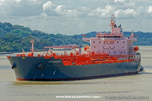
Vessel profile: AMASYA is a Tanker with dimensions m x m.
This page combines live AIS, route history, probable destination signals, nearby traffic, and port activity for practical vessel monitoring.
The current position of vessel AMASYA is 27.81993 lat / -96.95322 lng. Updated: 2026-05-19 01:54:00 UTCNearest reference points:
- Near Port Aransas
- 10 nm E of Port Aransas
- Near PORT ARANSAS
Currently sailing under the flag of Marshall Islands ![]()
Details:
Live Vessel AMASYA Analytics (details, animations, etc.)
Recent AIS points (UTC):
2026-05-18 22:43:02 UTC · 27.82036, -96.95293 · SOG 0.4 kn · COG -1°2026-05-19 00:18:16 UTC · 27.82049, -96.95282 · SOG 0.2 kn · COG -1°
2026-05-19 01:38:58 UTC · 27.81960, -96.95357 · SOG 0.3 kn · COG 112°
2026-05-19 01:54:00 UTC · 27.81993, -96.95322 · SOG 0.6 kn · COG 139°