 Kamikita Maru
Current Status
Where is the vessel?
Kamikita Maru is currently in 16 nm SE of Urahoro, based on AIS data received about 16h ago.
Latest AIS update:
Current position: 42.65446° N, 143.94270° E (16 nm SE of Urahoro)
Average speed (last 7 days): Loading…
Average speed (last 30 days): Loading…
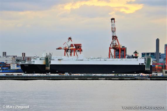
Vessel profile: Kamikita Maru is a Ro Ro Cargo Ship with dimensions 170m x 28m.
This page combines live AIS, route history, probable destination signals, nearby traffic, and port activity for practical vessel monitoring.
The current position of vessel Kamikita Maru is 42.65446 lat / 143.94270 lng. Updated: 2026-05-18 19:22:42 UTCNearest reference points:
- Near Kushiro
- Near NISHI
- 11 nm NE of Tomari
Currently sailing under the flag of Japan ![]()
Details:
Live Vessel Kamikita Maru Analytics (details, animations, etc.)
Recent AIS points (UTC):
2026-05-18 16:10:18 UTC · 41.95474, 143.38658 · SOG 15.1 kn · COG 26°2026-05-18 18:08:48 UTC · 42.39755, 143.71162 · SOG 15.4 kn · COG 32°
2026-05-18 19:09:18 UTC · 42.60919, 143.89806 · SOG 15.1 kn · COG 36°
2026-05-18 19:22:42 UTC · 42.65446, 143.94270 · SOG 15.1 kn · COG 37°