 vesseltracker.com
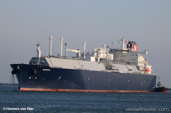
Kinisis
Current StatusWhere is the vessel?
Kinisis is currently in 32 nm SE of Marsh Harbour, based on AIS data received about 14h ago.
Latest AIS update:
Current position: 26.13862° N, 76.57501° W (32 nm SE of Marsh Harbour)
Average speed (last 7 days): Loading…
Average speed (last 30 days): Loading…
Vessel profile: Kinisis is a Lng Tanker with dimensions 46m x 295m.
This page combines live AIS, route history, probable destination signals, nearby traffic, and port activity for practical vessel monitoring.
The current position of vessel Kinisis is 26.13862 lat / -76.57501 lng. Updated: 2026-05-18 04:27:59 UTCNearest reference points:
- Near Harbour Island
- 22 nm E of Harbour Island
- 27 nm SE of Gorda Cay
Details:
Live Vessel Kinisis Analytics (details, animations, etc.)
Recent AIS points (UTC):
2026-05-17 21:28:22 UTC · 25.98739, -76.36733 · SOG 1.8 kn · COG 178°2026-05-18 01:07:02 UTC · 26.06988, -76.48033 · SOG 2.1 kn · COG 182°
2026-05-18 04:25:29 UTC · 26.13780, -76.57379 · SOG 1.7 kn · COG 193°
2026-05-18 04:27:59 UTC · 26.13862, -76.57501 · SOG 1.9 kn · COG 194°