 ISABELA ISLAND
Current Status
Where is the vessel?
ISABELA ISLAND is currently in 96 nm W of Gulfmex Lightering Area, based on AIS data received about 16h ago.
Latest AIS update:
Current position: 27.91390° N, 92.62260° W (96 nm W of Gulfmex Lightering Area)
Average speed (last 7 days): Loading…
Average speed (last 30 days): Loading…
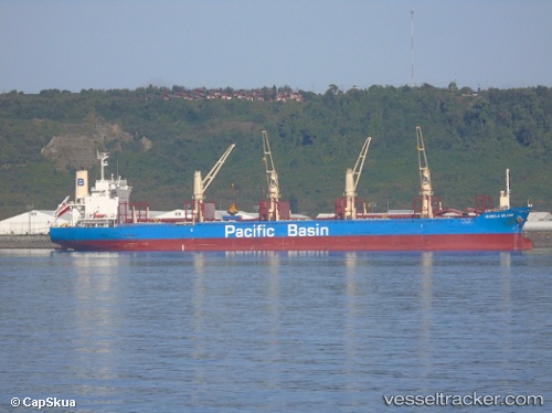
Vessel profile: ISABELA ISLAND is a Cargo with dimensions m x m.
This page combines live AIS, route history, probable destination signals, nearby traffic, and port activity for practical vessel monitoring.
The current position of vessel ISABELA ISLAND is 27.91390 lat / -92.62260 lng. Updated: 2026-05-19 01:52:17 UTCNearest reference points:
- 97 nm W of Gulfmex Lightering Area
- 83 nm W of Gulfmex Lightering Area
- 66 nm NW of Gulfmex Lightering Area
Currently sailing under the flag of Singapore ![]()
Details:
Live Vessel ISABELA ISLAND Analytics (details, animations, etc.)
Recent AIS points (UTC):
2026-05-18 22:45:59 UTC · 27.30500, -92.53500 · SOG 11 kn · COG -1°2026-05-19 00:20:26 UTC · 27.62378, -92.55500 · SOG 12 kn · COG 358°
2026-05-19 01:38:17 UTC · 27.87594, -92.59217 · SOG 11.8 kn · COG 326°
2026-05-19 01:52:17 UTC · 27.91390, -92.62260 · SOG 12 kn · COG 325°