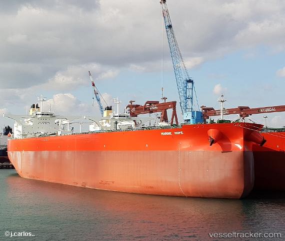
Marine Hope St
Current StatusWhere is the vessel?
Marine Hope St is currently in 179 nm S of Champerico, based on AIS data received about 14h ago.
Latest AIS update:
Current position: 11.50833° N, 93.04333° W (179 nm S of Champerico)
Average speed (last 7 days): Loading…
Average speed (last 30 days): Loading…
Vessel profile: Marine Hope St is a Crude Oil Tanker with dimensions 60m x 333m.
This page combines live AIS, route history, probable destination signals, nearby traffic, and port activity for practical vessel monitoring.
The current position of vessel Marine Hope St is 11.50833 lat / -93.04333 lng. Updated: 2026-05-19 10:12:30 UTCNearest reference points:
- Near San Jose
Details:
Live Vessel Marine Hope St Analytics (details, animations, etc.)
Recent AIS points (UTC):
2026-05-19 07:06:32 UTC · 11.13833, -92.40667 · SOG 13 kn · COG -1°2026-05-19 08:22:51 UTC · 11.29296, -92.66401 · SOG 13.9 kn · COG 301°
2026-05-19 09:33:33 UTC · 11.43333, -92.90667 · SOG 14 kn · COG -1°
2026-05-19 10:12:30 UTC · 11.50833, -93.04333 · SOG 14 kn · COG -1°