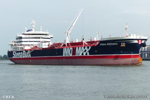
 TORM FREEDOM
Current Status
Where is the vessel?
TORM FREEDOM is currently in 12 nm E of Port Bolivar, based on AIS data received about 14h ago.
Latest AIS update:
Current position: 29.35070° N, 94.52304° W (12 nm E of Port Bolivar)
Average speed (last 7 days): Loading…
Average speed (last 30 days): Loading…
Vessel profile: TORM FREEDOM is a Tanker with dimensions m x m.
This page combines live AIS, route history, probable destination signals, nearby traffic, and port activity for practical vessel monitoring.
The current position of vessel TORM FREEDOM is 29.35070 lat / -94.52304 lng. Updated: 2026-05-19 09:31:47 UTCNearest reference points:
- 12 nm SE of Port Bolivar
- Near Port Bolivar
- Near Texas City
Currently sailing under the flag of Denmark ![]()
Details:
Live Vessel TORM FREEDOM Analytics (details, animations, etc.)
Recent AIS points (UTC):
2026-05-19 05:41:55 UTC · 29.35059, -94.52328 · SOG 0.1 kn · COG -1°2026-05-19 07:11:00 UTC · 29.35070, -94.52322 · SOG 0.2 kn · COG 124°
2026-05-19 08:24:04 UTC · 29.35074, -94.52313 · SOG 0.1 kn · COG -1°
2026-05-19 09:31:47 UTC · 29.35070, -94.52304 · SOG 0 kn · COG 122°