 vesseltracker.com
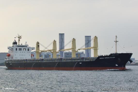
 ASTERIUS
Current Status
Where is the vessel?
ASTERIUS is currently in 27 nm NW of Casablanca, based on AIS data received about 14h ago.
Latest AIS update:
Current position: 33.99436° N, 7.88416° W (27 nm NW of Casablanca)
Average speed (last 7 days): Loading…
Average speed (last 30 days): Loading…
Vessel profile: ASTERIUS is a Cargo with dimensions m x m.
This page combines live AIS, route history, probable destination signals, nearby traffic, and port activity for practical vessel monitoring.
The current position of vessel ASTERIUS is 33.99436 lat / -7.88416 lng. Updated: 2026-05-18 13:47:07 UTCNearest reference points:
- Near Mohammedia
- 54 nm N of El Jadida
- 44 nm NW of El Jadida
Currently sailing under the flag of Marshall Islands ![]()
Details:
Live Vessel ASTERIUS Analytics (details, animations, etc.)
Recent AIS points (UTC):
2026-05-18 09:39:07 UTC · 34.08569, -7.88961 · SOG 0.8 kn · COG -1°2026-05-18 10:10:35 UTC · 34.07574, -7.89073 · SOG 1.2 kn · COG 249°
2026-05-18 11:20:43 UTC · 34.05373, -7.88903 · SOG 1.7 kn · COG 256°
2026-05-18 13:47:07 UTC · 33.99436, -7.88416 · SOG 1.2 kn · COG -1°