 TOPAZ BELAYA
Current Status
Where is the vessel?
TOPAZ BELAYA is currently in Near Rak Maritime City, based on AIS data received about 14h ago.
Latest AIS update:
Current position: 25.94126° N, 56.05836° E (Near Rak Maritime City)
Average speed (last 7 days): Loading…
Average speed (last 30 days): Loading…
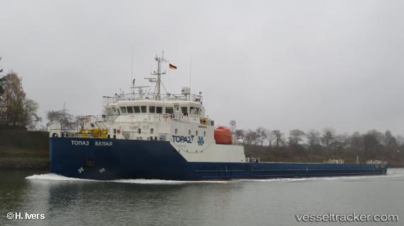
Vessel profile: TOPAZ BELAYA is a Heavy Load Carrier with dimensions 16m x 123m.
This page combines live AIS, route history, probable destination signals, nearby traffic, and port activity for practical vessel monitoring.
The current position of vessel TOPAZ BELAYA is 25.94126 lat / 56.05836 lng. Updated: 2026-05-19 22:20:56 UTCNearest reference points:
- Near Rak Maritime City
- Near Stevin Rock
- Near Ras Al Khaimah
Currently sailing under the flag of Marshall Islands ![]()
TOPAZ BELAYA built in 2017 year
Deadweight:
2969 tDetails:
Live Vessel TOPAZ BELAYA Analytics (details, animations, etc.)
Recent AIS points (UTC):
2026-05-19 17:54:42 UTC · 25.94127, 56.05831 · SOG 0 kn · COG 25°2026-05-19 19:35:42 UTC · 25.94125, 56.05831 · SOG 0 kn · COG 25°
2026-05-19 19:38:43 UTC · 25.94120, 56.05844 · SOG 2.1 kn · COG 25°
2026-05-19 22:20:56 UTC · 25.94126, 56.05836 · SOG 0.3 kn · COG 25°