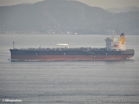
 HIGH NAVIGATOR
Current Status
Where is the vessel?
HIGH NAVIGATOR is currently in Near Apapa, based on AIS data received about 15h ago.
Latest AIS update:
Current position: 6.31196° N, 3.39574° E (Near Apapa)
Average speed (last 7 days): Loading…
Average speed (last 30 days): Loading…
Vessel profile: HIGH NAVIGATOR is a Tanker with dimensions m x m.
This page combines live AIS, route history, probable destination signals, nearby traffic, and port activity for practical vessel monitoring.
The current position of vessel HIGH NAVIGATOR is 6.31196 lat / 3.39574 lng. Updated: 2026-05-18 19:12:09 UTCNearest reference points:
- Near Apapa
- Near Lagos
- Near Kirikiri
Currently sailing under the flag of Liberia ![]()
Details:
Live Vessel HIGH NAVIGATOR Analytics (details, animations, etc.)
Recent AIS points (UTC):
2026-05-18 15:55:15 UTC · 6.31069, 3.39970 · SOG 4.5 kn · COG 270°2026-05-18 16:36:09 UTC · 6.31036, 3.39586 · SOG 0.2 kn · COG 285°
2026-05-18 17:33:09 UTC · 6.31203, 3.39531 · SOG 0.1 kn · COG 194°
2026-05-18 19:12:09 UTC · 6.31196, 3.39574 · SOG 0.3 kn · COG 217°