 Mercurius
Current Status
Where is the vessel?
Mercurius is currently in Near Punta Umbría, based on AIS data received about 15h ago.
Latest AIS update:
Current position: 37.15814° N, 6.89408° W (Near Punta Umbría)
Average speed (last 7 days): Loading…
Average speed (last 30 days): Loading…
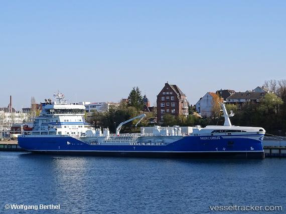
Vessel profile: Mercurius is a Chemical Tanker with dimensions 120m x 19m.
This page combines live AIS, route history, probable destination signals, nearby traffic, and port activity for practical vessel monitoring.
The current position of vessel Mercurius is 37.15814 lat / -6.89408 lng. Updated: 2026-05-19 01:30:40 UTCNearest reference points:
- Near Punta Umbría
- Near La Antilla
- Near VILA REAL ST ANTONIO
Currently sailing under the flag of Sweden ![]()
Details:
Live Vessel Mercurius Analytics (details, animations, etc.)
Recent AIS points (UTC):
2026-05-18 23:06:40 UTC · 37.15813, -6.89417 · SOG 0 kn · COG 126°2026-05-18 23:54:47 UTC · 37.15826, -6.89414 · SOG 0 kn · COG 126°
2026-05-19 01:30:40 UTC · 37.15814, -6.89408 · SOG 0 kn · COG 126°
2026-05-19 01:30:40 UTC · 37.15814, -6.89408 · SOG 0 kn · COG 126°