 vesseltracker.com
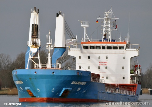
Marmed
Current StatusWhere is the vessel?
Marmed is currently in 31 nm NE of San Cataldo, based on AIS data received about 4h ago.
Latest AIS update:
Current position: 40.82660° N, 18.63146° E (31 nm NE of San Cataldo)
Average speed (last 7 days): Loading…
Average speed (last 30 days): Loading…
Vessel profile: Marmed is a Multi Purpose Carrier with dimensions 18m x 108m.
This page combines live AIS, route history, probable destination signals, nearby traffic, and port activity for practical vessel monitoring.
The current position of vessel Marmed is 40.82660 lat / 18.63146 lng. Updated: 2026-04-10 07:26:26 UTCNearest reference points:
- 22 nm W of Fier
- Near Porto Di Brindisi
- Near Durres
Details:
Live Vessel Marmed Analytics (details, animations, etc.)
Recent AIS points (UTC):
2026-04-10 02:27:44 UTC · 39.99274, 18.54980 · SOG 10 kn · COG 24°2026-04-10 03:50:44 UTC · 40.20513, 18.61990 · SOG 9.7 kn · COG 1°
2026-04-10 05:58:45 UTC · 40.56607, 18.61814 · SOG 10.6 kn · COG 2°
2026-04-10 07:26:26 UTC · 40.82660, 18.63146 · SOG 10.7 kn · COG 4°