 Marie b
Current Status
Where is the vessel?
Marie b is currently in Near WOLGAST, based on AIS data received about 14h ago.
Latest AIS update:
Current position: 54.03566° N, 13.76155° E (Near WOLGAST)
Average speed (last 7 days): Loading…
Average speed (last 30 days): Loading…
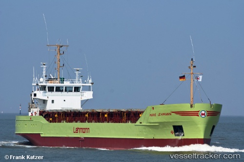
Vessel profile: Marie b is a General Cargo Ship with dimensions 80m x 13m.
This page combines live AIS, route history, probable destination signals, nearby traffic, and port activity for practical vessel monitoring.
The current position of vessel Marie b is 54.03566 lat / 13.76155 lng. Updated: 2026-05-27 05:25:10 UTCNearest reference points:
- Near WOLGAST
- Near PEENEMUNDE
- Near Baabe (Ostseebad)
Currently sailing under the flag of Antigua Barbuda ![]()
Marie b built in 1987 year
Deadweight:
3017 tDetails:
Live Vessel Marie b Analytics (details, animations, etc.)
Recent AIS points (UTC):
2026-05-27 01:42:30 UTC · 54.03581, 13.76153 · SOG 0 kn · COG 236°2026-05-27 03:22:29 UTC · 54.03571, 13.76155 · SOG 0 kn · COG 236°
2026-05-27 04:03:21 UTC · 54.03579, 13.76176 · SOG 0 kn · COG 236°
2026-05-27 05:25:10 UTC · 54.03566, 13.76155 · SOG 0 kn · COG 236°