My Lama
Current StatusWhere is the vessel?
My Lama is currently in Near ZEYTINBURNU, based on AIS data received about 14h ago.
Latest AIS update:
Current position: 40.96182° N, 28.92563° E (Near ZEYTINBURNU)
Average speed (last 7 days): Loading…
Average speed (last 30 days): Loading…
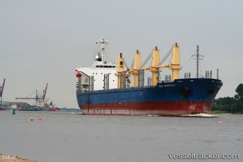
Vessel profile: My Lama is a Bulk Carrier with dimensions 27m x 170m.
This page combines live AIS, route history, probable destination signals, nearby traffic, and port activity for practical vessel monitoring.
The current position of vessel My Lama is 40.96182 lat / 28.92563 lng. Updated: 2026-05-29 04:50:52 UTCNearest reference points:
- Near ZEYTINBURNU
- Near Davutpasa
- Near BAKIRKOY
Details:
Live Vessel My Lama Analytics (details, animations, etc.)
Recent AIS points (UTC):
2026-05-29 01:05:49 UTC · 40.96193, 28.92524 · SOG 0 kn · COG 33°2026-05-29 02:08:49 UTC · 40.96243, 28.92463 · SOG 0 kn · COG 61°
2026-05-29 03:44:50 UTC · 40.96180, 28.92548 · SOG 0.1 kn · COG 22°
2026-05-29 04:50:52 UTC · 40.96182, 28.92563 · SOG 0.3 kn · COG 31°