 vesseltracker.com
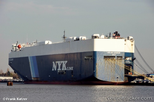
Atlas Leader
Current StatusWhere is the vessel?
Atlas Leader is currently in 100 nm SW of Honawar, based on AIS data received less than 1h ago.
Latest AIS update:
Current position: 13.40859° N, 72.95865° E (100 nm SW of Honawar)
Average speed (last 7 days): Loading…
Average speed (last 30 days): Loading…
Vessel profile: Atlas Leader is a Vehicles Carrier with dimensions 32m x 199m.
This page combines live AIS, route history, probable destination signals, nearby traffic, and port activity for practical vessel monitoring.
The current position of vessel Atlas Leader is 13.40859 lat / 72.95865 lng. Updated: 2026-05-15 04:41:59 UTCNearest reference points:
- 57 nm NW of New Mangalore
- 17 nm NW of Panamburu
- 89 nm W of Marmagao (Marmugao)
Details:
Live Vessel Atlas Leader Analytics (details, animations, etc.)
Recent AIS points (UTC):
2026-05-14 23:49:14 UTC · 14.58333, 72.03500 · SOG 18 kn · COG -1°2026-05-15 00:37:14 UTC · 14.40333, 72.20167 · SOG 18 kn · COG -1°
2026-05-15 03:51:09 UTC · 13.61136, 72.82478 · SOG 18.1 kn · COG 148°
2026-05-15 04:41:59 UTC · 13.40859, 72.95865 · SOG 18.1 kn · COG 142°