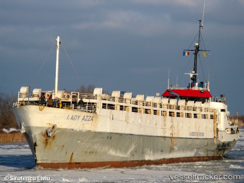
 LADY MARIA
Current Status
Where is the vessel?
LADY MARIA is currently in Near Djibouti, based on AIS data received about 15h ago.
Latest AIS update:
Current position: 11.68747° N, 43.12580° E (Near Djibouti)
Average speed (last 7 days): Loading…
Average speed (last 30 days): Loading…
Vessel profile: LADY MARIA is a Livestock Carrier with dimensions m x m.
This page combines live AIS, route history, probable destination signals, nearby traffic, and port activity for practical vessel monitoring.
The current position of vessel LADY MARIA is 11.68747 lat / 43.12580 lng. Updated: 2026-05-19 17:58:23 UTCNearest reference points:
- Near Djibouti
Currently sailing under the flag of Guinea ![]()
Details:
Live Vessel LADY MARIA Analytics (details, animations, etc.)
Recent AIS points (UTC):
2026-05-19 14:08:57 UTC · 11.60749, 43.13224 · SOG 0 kn · COG -1°2026-05-19 15:45:55 UTC · 11.64180, 43.14643 · SOG 0 kn · COG -1°
2026-05-19 16:04:54 UTC · 11.64178, 43.14640 · SOG 0 kn · COG -1°
2026-05-19 17:58:23 UTC · 11.68747, 43.12580 · SOG 8.4 kn · COG -1°