 Balder
Current Status
Where is the vessel?
Balder is currently in Near Hundvaag, based on AIS data received about 15h ago.
Latest AIS update:
Current position: 59.02000° N, 5.71026° E (Near Hundvaag)
Average speed (last 7 days): Loading…
Average speed (last 30 days): Loading…
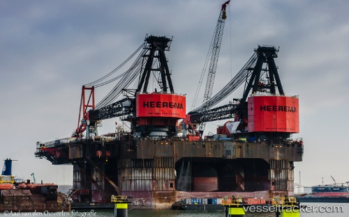
Vessel profile: Balder is a Service Ship with dimensions 154m x 104m.
This page combines live AIS, route history, probable destination signals, nearby traffic, and port activity for practical vessel monitoring.
The current position of vessel Balder is 59.02000 lat / 5.71026 lng. Updated: 2026-07-25 11:42:14 UTCNearest reference points:
- Near Lura
- Near HUSOYA
- Near Storøya
Currently sailing under the flag of Panama ![]()
Balder built in 1978 year
Deadweight:
59404 tDetails:
Live Vessel Balder Analytics (details, animations, etc.)
Recent AIS points (UTC):
2026-07-25 07:33:15 UTC · 59.01995, 5.71004 · SOG 0 kn · COG 309°2026-07-25 10:24:16 UTC · 59.02002, 5.71029 · SOG 0 kn · COG 318°
2026-07-25 10:39:21 UTC · 59.02000, 5.71035 · SOG 0.1 kn · COG 314°
2026-07-25 11:42:14 UTC · 59.02000, 5.71026 · SOG 0 kn · COG 320°