 vesseltracker.com
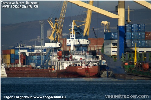
 Volaris 54
Current Status
Where is the vessel?
Volaris 54 is currently in 11 nm N of INEBOLU, based on AIS data received about 1h ago.
Latest AIS update:
Current position: 42.16013° N, 33.71397° E (11 nm N of INEBOLU)
Average speed (last 7 days): Loading…
Average speed (last 30 days): Loading…
Vessel profile: Volaris 54 is a General Cargo Ship with dimensions 140m x 16m.
This page combines live AIS, route history, probable destination signals, nearby traffic, and port activity for practical vessel monitoring.
The current position of vessel Volaris 54 is 42.16013 lat / 33.71397 lng. Updated: 2026-03-29 11:43:45 UTCNearest reference points:
- 18 nm NW of INEBOLU
- 27 nm NW of INEBOLU
- Near Cide
Currently sailing under the flag of St Kitts Nevis ![]()
Volaris 54 built in 1988 year
Deadweight:
6261 tDetails:
Live Vessel Volaris 54 Analytics (details, animations, etc.)
Recent AIS points (UTC):
2026-03-29 03:04:06 UTC · 41.90167, 32.28667 · SOG 7 kn · COG -1°2026-03-29 07:43:24 UTC · 42.10585, 33.03331 · SOG 7.6 kn · COG -1°
2026-03-29 09:38:34 UTC · 42.14199, 33.35406 · SOG 7.5 kn · COG -1°
2026-03-29 11:43:45 UTC · 42.16013, 33.71397 · SOG 8.1 kn · COG -1°