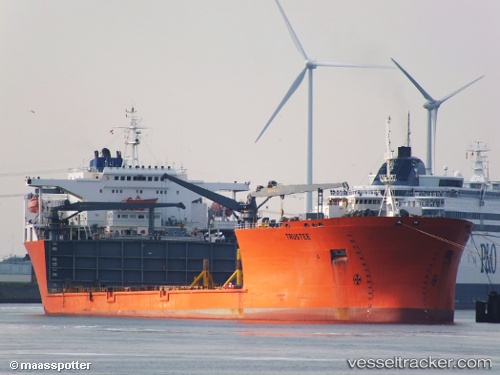
 TRUSTEE
Current Status
Where is the vessel?
TRUSTEE is currently in Near Zierbena, based on AIS data received about 14h ago.
Latest AIS update:
Current position: 43.35800° N, 3.06919° W (Near Zierbena)
Average speed (last 7 days): Loading…
Average speed (last 30 days): Loading…
Vessel profile: TRUSTEE is a Heavy Lift Vessel with dimensions m x m.
This page combines live AIS, route history, probable destination signals, nearby traffic, and port activity for practical vessel monitoring.
The current position of vessel TRUSTEE is 43.35800 lat / -3.06919 lng. Updated: 2026-07-07 03:27:13 UTCNearest reference points:
- Near Zierbena
- Near Santurtz
- Near LAREDO
Currently sailing under the flag of Malta ![]()
Details:
Live Vessel TRUSTEE Analytics (details, animations, etc.)
Recent AIS points (UTC):
2026-07-07 00:54:01 UTC · 43.35798, -3.06918 · SOG 0 kn · COG 15°2026-07-07 00:54:01 UTC · 43.35798, -3.06918 · SOG 0 kn · COG 15°
2026-07-07 02:47:59 UTC · 43.35803, -3.06918 · SOG 0 kn · COG 15°
2026-07-07 03:27:13 UTC · 43.35800, -3.06919 · SOG 0 kn · COG 15°