 vesseltracker.com
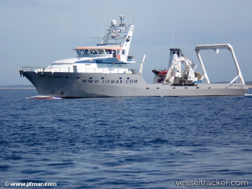
 BALTIC EXPLORER
Current Status
Where is the vessel?
BALTIC EXPLORER is currently in 23 nm NW of Leba, based on AIS data received about 17h ago.
Latest AIS update:
Current position: 55.07500° N, 17.19167° E (23 nm NW of Leba)
Average speed (last 7 days): Loading…
Average speed (last 30 days): Loading…
Vessel profile: BALTIC EXPLORER is a Utility Vessel with dimensions 44m x 11m.
This page combines live AIS, route history, probable destination signals, nearby traffic, and port activity for practical vessel monitoring.
The current position of vessel BALTIC EXPLORER is 55.07500 lat / 17.19167 lng. Updated: 2026-05-17 17:30:07 UTCNearest reference points:
- 31 nm NW of Ustka
- Near WLADYSLAWOWO
- Near Gdynia
Currently sailing under the flag of Lithuania ![]()
BALTIC EXPLORER built in 1991 year
Deadweight:
220 tDetails:
Live Vessel BALTIC EXPLORER Analytics (details, animations, etc.)
Recent AIS points (UTC):
2026-05-17 17:30:07 UTC · 55.07500, 17.19167 · SOG 0 kn · COG -1°2026-05-17 17:30:07 UTC · 55.07500, 17.19167 · SOG 0 kn · COG -1°
2026-05-17 17:30:07 UTC · 55.07500, 17.19167 · SOG 0 kn · COG -1°
2026-05-17 17:30:07 UTC · 55.07500, 17.19167 · SOG 0 kn · COG -1°