 SEFA
SEFA
Current Status
Where is the vessel?
SEFA is currently in Near EL DEKHEILA, based on AIS data received about 14h ago.
Latest AIS update:
Current position: 31.20151° N, 29.75974° E (Near EL DEKHEILA)
Average speed (last 7 days): Loading…
Average speed (last 30 days): Loading…
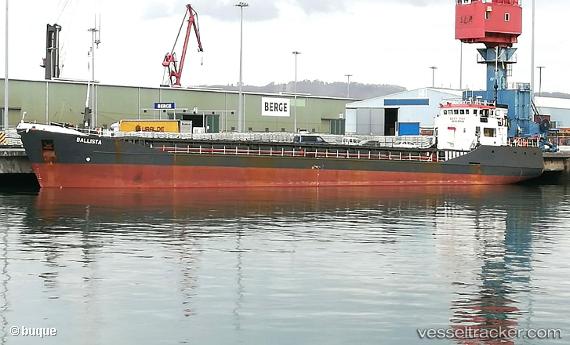
Vessel profile: SEFA is a General Cargo with dimensions m x m.
This page combines live AIS, route history, probable destination signals, nearby traffic, and port activity for practical vessel monitoring.
The current position of vessel SEFA is 31.20151 lat / 29.75974 lng. Updated: 2026-05-20 16:10:16 UTCNearest reference points:
- Near EL DEKHEILA
- Near Alexandria
- 13 nm W of EL DEKHEILA
Currently sailing under the flag of Guinea ![]()
Details:
Live Vessel SEFA Analytics (details, animations, etc.)
Recent AIS points (UTC):
2026-05-20 13:01:16 UTC · 31.20153, 29.75979 · SOG 0.4 kn · COG 293°2026-05-20 13:49:15 UTC · 31.20158, 29.75980 · SOG 0.6 kn · COG 276°
2026-05-20 15:55:15 UTC · 31.20180, 29.75990 · SOG 1.2 kn · COG 278°
2026-05-20 16:10:16 UTC · 31.20151, 29.75974 · SOG 0.7 kn · COG 283°