 FRIENDSHIP
Current Status
Where is the vessel?
FRIENDSHIP is currently in Near MYKONOS OLD PORT, based on AIS data received about 15h ago.
Latest AIS update:
Current position: 37.44363° N, 25.31929° E (Near MYKONOS OLD PORT)
Average speed (last 7 days): Loading…
Average speed (last 30 days): Loading…
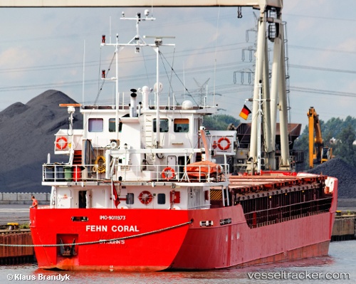
Vessel profile: FRIENDSHIP is a General Cargo with dimensions m x m.
This page combines live AIS, route history, probable destination signals, nearby traffic, and port activity for practical vessel monitoring.
The current position of vessel FRIENDSHIP is 37.44363 lat / 25.31929 lng. Updated: 2026-05-26 05:25:28 UTCNearest reference points:
- Near MYKONOS OLD PORT
- Near Delos
- Near PISO LIVADI
Currently sailing under the flag of Greece ![]()
Details:
Live Vessel FRIENDSHIP Analytics (details, animations, etc.)
Recent AIS points (UTC):
2026-05-26 01:46:59 UTC · 37.50234, 25.18734 · SOG 7.5 kn · COG 117°2026-05-26 04:04:59 UTC · 37.44360, 25.31924 · SOG 0.1 kn · COG 354°
2026-05-26 04:05:18 UTC · 37.44360, 25.31923 · SOG 0.1 kn · COG 355°
2026-05-26 05:25:28 UTC · 37.44363, 25.31929 · SOG 0.2 kn · COG 349°