 JOAV I
Current Status
Where is the vessel?
JOAV I is currently in Near Kefalos Ko, based on AIS data received about 14h ago.
Latest AIS update:
Current position: 36.74102° N, 26.98242° E (Near Kefalos Ko)
Average speed (last 7 days): Loading…
Average speed (last 30 days): Loading…
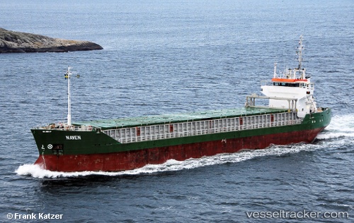
Vessel profile: JOAV I is a General Cargo with dimensions m x m.
This page combines live AIS, route history, probable destination signals, nearby traffic, and port activity for practical vessel monitoring.
The current position of vessel JOAV I is 36.74102 lat / 26.98242 lng. Updated: 2026-05-20 04:27:11 UTCNearest reference points:
- Near KALYMNOS
- Near KOS
- Near TURGUTREIS
Currently sailing under the flag of Saint Kitts and Nevis ![]()
Details:
Live Vessel JOAV I Analytics (details, animations, etc.)
Recent AIS points (UTC):
2026-05-20 01:21:10 UTC · 36.74171, 26.98325 · SOG 0 kn · COG 308°2026-05-20 01:48:06 UTC · 36.74147, 26.98306 · SOG 0 kn · COG 326°
2026-05-20 04:24:08 UTC · 36.74097, 26.98258 · SOG 0.3 kn · COG 333°
2026-05-20 04:27:11 UTC · 36.74102, 26.98242 · SOG 0.2 kn · COG 11°