 vesseltracker.com
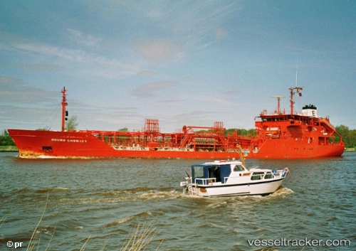
Key West
Current StatusWhere is the vessel?
Key West is currently in Near Alesund, based on AIS data received about 1h ago.
Latest AIS update:
Current position: 62.46433° N, 6.12095° E (Near Alesund)
Average speed (last 7 days): Loading…
Average speed (last 30 days): Loading…
Vessel profile: Key West is a Chemical Oil Products Tanker with dimensions 15m x 90m.
This page combines live AIS, route history, probable destination signals, nearby traffic, and port activity for practical vessel monitoring.
The current position of vessel Key West is 62.46433 lat / 6.12095 lng. Updated: 2026-05-12 19:57:42 UTCNearest reference points:
- Near Alesund
- Near Gjøsundet
- Near Fiskarstrand
Details:
Live Vessel Key West Analytics (details, animations, etc.)
Recent AIS points (UTC):
2026-05-12 17:03:15 UTC · 62.46431, 6.12099 · SOG 0 kn · COG 272°2026-05-12 18:09:10 UTC · 62.46434, 6.12103 · SOG 0 kn · COG 273°
2026-05-12 19:21:12 UTC · 62.46430, 6.12101 · SOG 0 kn · COG 273°
2026-05-12 19:57:42 UTC · 62.46433, 6.12095 · SOG 0 kn · COG 273°