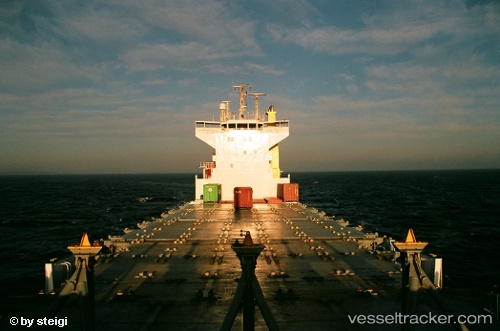
 ARCHERFISH
Current Status
Where is the vessel?
ARCHERFISH is currently in Near CEYHAN, based on AIS data received about 15h ago.
Latest AIS update:
Current position: 36.78941° N, 35.89698° E (Near CEYHAN)
Average speed (last 7 days): Loading…
Average speed (last 30 days): Loading…
Vessel profile: ARCHERFISH is a Container Ship with dimensions m x m.
This page combines live AIS, route history, probable destination signals, nearby traffic, and port activity for practical vessel monitoring.
The current position of vessel ARCHERFISH is 36.78941 lat / 35.89698 lng. Updated: 2026-05-22 03:40:38 UTCNearest reference points:
- Near CEYHAN
- Near YUMURTALIC
- Near DORTYOL
Currently sailing under the flag of Panama ![]()
Details:
Live Vessel ARCHERFISH Analytics (details, animations, etc.)
Recent AIS points (UTC):
2026-05-21 18:40:38 UTC · 36.78959, 35.89699 · SOG 1.8 kn · COG 185°2026-05-22 01:19:37 UTC · 36.78943, 35.89717 · SOG 0.3 kn · COG 193°
2026-05-22 01:19:37 UTC · 36.78943, 35.89717 · SOG 0.3 kn · COG 193°
2026-05-22 03:40:38 UTC · 36.78941, 35.89698 · SOG 0.2 kn · COG 189°