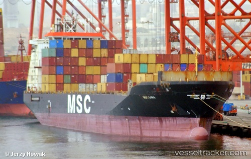
 MED BEYKOZ
Current Status
Where is the vessel?
MED BEYKOZ is currently in Near Antalya Free Zone, based on AIS data received about 14h ago.
Latest AIS update:
Current position: 36.83592° N, 30.61116° E (Near Antalya Free Zone)
Average speed (last 7 days): Loading…
Average speed (last 30 days): Loading…
Vessel profile: MED BEYKOZ is a Container Ship with dimensions m x m.
This page combines live AIS, route history, probable destination signals, nearby traffic, and port activity for practical vessel monitoring.
The current position of vessel MED BEYKOZ is 36.83592 lat / 30.61116 lng. Updated: 2026-05-20 16:11:58 UTCNearest reference points:
- Near Antalya Free Zone
- Near Antalya
- Near Kemer
Currently sailing under the flag of Turkey ![]()
Details:
Live Vessel MED BEYKOZ Analytics (details, animations, etc.)
Recent AIS points (UTC):
2026-05-20 13:02:53 UTC · 36.83595, 30.61121 · SOG 0 kn · COG 30°2026-05-20 13:48:24 UTC · 36.83592, 30.61115 · SOG 0 kn · COG 30°
2026-05-20 15:53:56 UTC · 36.83595, 30.61115 · SOG 0 kn · COG 30°
2026-05-20 16:11:58 UTC · 36.83592, 30.61116 · SOG 0 kn · COG 30°