 MELIANA
Current Status
Where is the vessel?
MELIANA is currently in Near Aktau, based on AIS data received about 14h ago.
Latest AIS update:
Current position: 43.59841° N, 51.21264° E (Near Aktau)
Average speed (last 7 days): Loading…
Average speed (last 30 days): Loading…
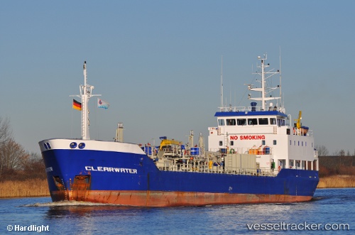
Vessel profile: MELIANA is a Chemical/Oil Products Tanker with dimensions 11m x 80m.
This page combines live AIS, route history, probable destination signals, nearby traffic, and port activity for practical vessel monitoring.
The current position of vessel MELIANA is 43.59841 lat / 51.21264 lng. Updated: 2026-05-19 19:41:39 UTCNearest reference points:
- 12 nm S of Aktau
- 24 nm W of Kuryk
- 35 nm W of Kuryk
Currently sailing under the flag of Kazakhstan ![]()
MELIANA built in 1995 year
Deadweight:
2662 tDetails:
Live Vessel MELIANA Analytics (details, animations, etc.)
Recent AIS points (UTC):
2026-05-19 16:05:39 UTC · 43.59839, 51.21261 · SOG 0 kn · COG -1°2026-05-19 17:50:40 UTC · 43.59839, 51.21263 · SOG 0 kn · COG -1°
2026-05-19 19:35:40 UTC · 43.59845, 51.21258 · SOG 0 kn · COG -1°
2026-05-19 19:41:39 UTC · 43.59841, 51.21264 · SOG 0 kn · COG -1°