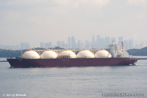
 AL WAKRAH
Current Status
Where is the vessel?
AL WAKRAH is currently in 10 nm NW of Sipitang, based on AIS data received about 11d ago.
Latest AIS update:
Current position: 5.16684° N, 115.39456° E (10 nm NW of Sipitang)
Average speed (last 7 days): Loading…
Average speed (last 30 days): Loading…
Vessel profile: AL WAKRAH is a LNG Tanker with dimensions 298m x 46m.
This page combines live AIS, route history, probable destination signals, nearby traffic, and port activity for practical vessel monitoring.
The current position of vessel AL WAKRAH is 5.16684 lat / 115.39456 lng. Updated: 2026-05-22 03:15:58 UTCNearest reference points:
- Near Kota Kinabalu
- 44 nm SW of Tembungo
- Near Kikeh
Currently sailing under the flag of Marshall Islands ![]()
AL WAKRAH built in 1998 year
Deadweight:
72453 tDetails:
Live Vessel AL WAKRAH Analytics (details, animations, etc.)
Recent AIS points (UTC):
2026-05-22 03:15:58 UTC · 5.16684, 115.39456 · SOG 0 kn · COG 247°2026-05-22 03:15:58 UTC · 5.16684, 115.39456 · SOG 0 kn · COG 247°
2026-05-22 03:15:58 UTC · 5.16684, 115.39456 · SOG 0 kn · COG 247°
2026-05-22 03:15:58 UTC · 5.16684, 115.39456 · SOG 0 kn · COG 247°