 vesseltracker.com
Mustafa Bey
Current StatusWhere is the vessel?
Mustafa Bey is currently in 18 nm NE of Il-Kappara, based on AIS data received less than 1h ago.
Latest AIS update:
Current position: 36.00468° N, 14.87348° E (18 nm NE of Il-Kappara)
Average speed (last 7 days): Loading…
Average speed (last 30 days): Loading…
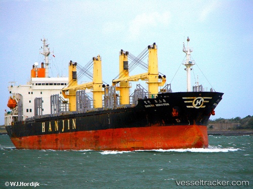
Vessel profile: Mustafa Bey is a Bulk Carrier with dimensions 25m x 167m.
This page combines live AIS, route history, probable destination signals, nearby traffic, and port activity for practical vessel monitoring.
The current position of vessel Mustafa Bey is 36.00468 lat / 14.87348 lng. Updated: 2026-05-16 01:48:21 UTCNearest reference points:
- 13 nm E of Il-Kappara
- 18 nm E of Il-Kappara
- Near Xghajra
Details:
Live Vessel Mustafa Bey Analytics (details, animations, etc.)
Recent AIS points (UTC):
2026-05-15 22:12:22 UTC · 36.00484, 14.87439 · SOG 0.1 kn · COG 214°2026-05-15 23:45:22 UTC · 36.00475, 14.87370 · SOG 0 kn · COG 158°
2026-05-16 01:24:22 UTC · 36.00493, 14.87347 · SOG 0 kn · COG 159°
2026-05-16 01:48:21 UTC · 36.00468, 14.87348 · SOG 0.1 kn · COG 156°