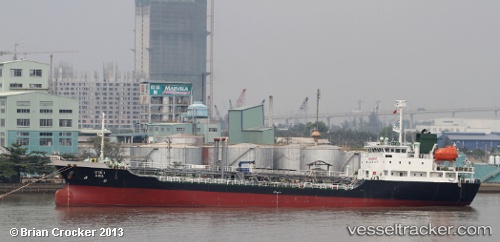
Ama
Current StatusWhere is the vessel?
Ama is currently in Near Labason/Zamboanga, based on AIS data received about 14h ago.
Latest AIS update:
Current position: 8.15167° N, 122.43333° E (Near Labason/Zamboanga)
Average speed (last 7 days): Loading…
Average speed (last 30 days): Loading…
Vessel profile: Ama is a Chemical Oil Products Tanker with dimensions 13m x 89m.
This page combines live AIS, route history, probable destination signals, nearby traffic, and port activity for practical vessel monitoring.
The current position of vessel Ama is 8.15167 lat / 122.43333 lng. Updated: 2026-05-20 05:12:46 UTCNearest reference points:
- 17 nm SW of Bacong
- 21 nm NW of Zamboanga
- 14 nm SE of Zamboanga
Details:
Live Vessel Ama Analytics (details, animations, etc.)
Recent AIS points (UTC):
2026-05-20 01:33:40 UTC · 8.47833, 122.65833 · SOG 5 kn · COG -1°2026-05-20 03:33:39 UTC · 8.30333, 122.58500 · SOG 5 kn · COG -1°
2026-05-20 04:09:40 UTC · 8.24333, 122.56500 · SOG 9 kn · COG -1°
2026-05-20 05:12:46 UTC · 8.15167, 122.43333 · SOG 9 kn · COG -1°