 NORMAN
Current Status
Where is the vessel?
NORMAN is currently in Near Port Said West, based on AIS data received about 15h ago.
Latest AIS update:
Current position: 31.25418° N, 32.30089° E (Near Port Said West)
Average speed (last 7 days): Loading…
Average speed (last 30 days): Loading…
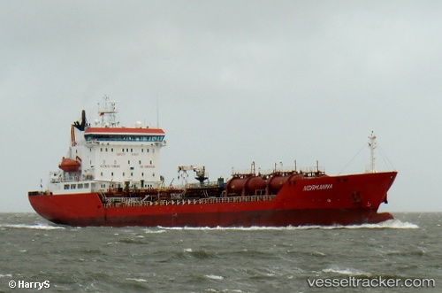
Vessel profile: NORMAN is a Oil/Chemical Tanker with dimensions m x m.
This page combines live AIS, route history, probable destination signals, nearby traffic, and port activity for practical vessel monitoring.
The current position of vessel NORMAN is 31.25418 lat / 32.30089 lng. Updated: 2026-05-22 04:12:50 UTCNearest reference points:
- Near Port Said East
- Near Port Said
- 14 nm N of Port Said
Currently sailing under the flag of Tuvalu ![]()
Details:
Live Vessel NORMAN Analytics (details, animations, etc.)
Recent AIS points (UTC):
2026-05-22 01:09:49 UTC · 31.25419, 32.30087 · SOG 0 kn · COG 304°2026-05-22 02:03:47 UTC · 31.25422, 32.30085 · SOG 0 kn · COG 304°
2026-05-22 03:30:52 UTC · 31.25417, 32.30083 · SOG 0 kn · COG 304°
2026-05-22 04:12:50 UTC · 31.25418, 32.30089 · SOG 0 kn · COG 304°