 vesseltracker.com
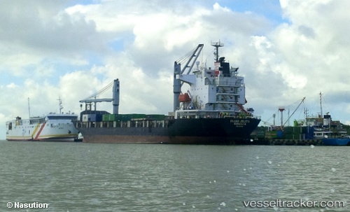
Hijau Jelita
Current StatusWhere is the vessel?
Hijau Jelita is currently in 30 nm NW of MANOKWARI, based on AIS data received less than 1h ago.
Latest AIS update:
Current position: 0.58428° S, 133.67374° E (30 nm NW of MANOKWARI)
Average speed (last 7 days): Loading…
Average speed (last 30 days): Loading…
Vessel profile: Hijau Jelita is a Container Ship with dimensions 23m x 136m.
This page combines live AIS, route history, probable destination signals, nearby traffic, and port activity for practical vessel monitoring.
The current position of vessel Hijau Jelita is -0.58428 lat / 133.67374 lng. Updated: 2026-05-15 18:00:43 UTCNearest reference points:
- Near TANGGUH
- Near Sorong
Details:
Live Vessel Hijau Jelita Analytics (details, animations, etc.)
Recent AIS points (UTC):
2026-05-15 14:20:24 UTC · -0.79643, 134.53871 · SOG 13.9 kn · COG 276°2026-05-15 15:47:55 UTC · -0.73220, 134.19855 · SOG 14.7 kn · COG 274°
2026-05-15 16:47:04 UTC · -0.67540, 133.96178 · SOG 14.4 kn · COG 286°
2026-05-15 18:00:43 UTC · -0.58428, 133.67374 · SOG 14.9 kn · COG 288°