 vesseltracker.com
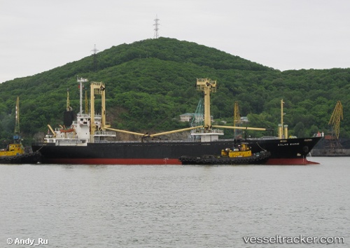
 HAMMER
Current Status
Where is the vessel?
HAMMER is currently in 24 nm W of Saint David's, based on AIS data received about 2h ago.
Latest AIS update:
Current position: 51.83571° N, 5.91099° W (24 nm W of Saint David's)
Average speed (last 7 days): Loading…
Average speed (last 30 days): Loading…
Vessel profile: HAMMER is a General Cargo Ship with dimensions 16m x 94m.
This page combines live AIS, route history, probable destination signals, nearby traffic, and port activity for practical vessel monitoring.
The current position of vessel HAMMER is 51.83571 lat / -5.91099 lng. Updated: 2026-05-16 05:23:15 UTCNearest reference points:
- Near WEXFORD
- Near ARKLOW
- Near WICKLOW
Currently sailing under the flag of Panama ![]()
HAMMER built in 1998 year
Deadweight:
4902 tDetails:
Live Vessel HAMMER Analytics (details, animations, etc.)
Recent AIS points (UTC):
2026-05-16 03:23:14 UTC · 52.09196, -5.75719 · SOG 9.5 kn · COG 203°2026-05-16 04:25:45 UTC · 51.95055, -5.84319 · SOG 8 kn · COG 202°
2026-05-16 05:23:15 UTC · 51.83571, -5.91099 · SOG 7.2 kn · COG 196°
2026-05-16 05:23:15 UTC · 51.83571, -5.91099 · SOG 7.2 kn · COG 196°