 vesseltracker.com
 DEPE
DEPE
Current Status
Where is the vessel?
DEPE is currently in 14 nm E of Waterport, based on AIS data received about 1h ago.
Latest AIS update:
Current position: 36.04945° N, 5.07456° W (14 nm E of Waterport)
Average speed (last 7 days): Loading…
Average speed (last 30 days): Loading…
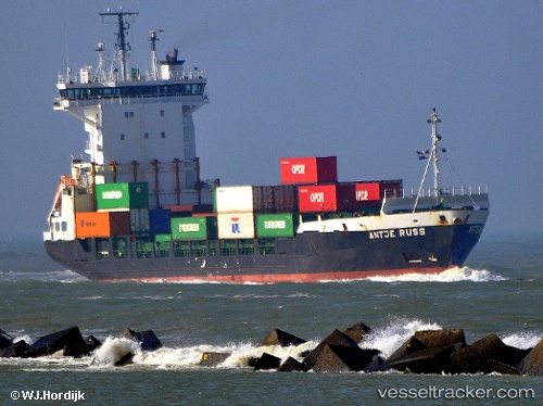
Vessel profile: DEPE is a Container Ship with dimensions 18m x 120m.
This page combines live AIS, route history, probable destination signals, nearby traffic, and port activity for practical vessel monitoring.
The current position of vessel DEPE is 36.04945 lat / -5.07456 lng. Updated: 2026-05-12 20:06:55 UTCNearest reference points:
- Near Waterport
- Near Sotogrande
- Near La Línea de la Concepción
Currently sailing under the flag of Liberia ![]()
DEPE built in 1998 year
Deadweight:
6862 tDetails:
Live Vessel DEPE Analytics (details, animations, etc.)
Recent AIS points (UTC):
2026-05-12 16:20:46 UTC · 36.16112, -4.22696 · SOG 11.2 kn · COG 263°2026-05-12 17:59:05 UTC · 36.11962, -4.59595 · SOG 10.9 kn · COG 267°
2026-05-12 19:12:46 UTC · 36.07818, -4.87385 · SOG 11.6 kn · COG 260°
2026-05-12 20:06:55 UTC · 36.04945, -5.07456 · SOG 9 kn · COG 264°