 vesseltracker.com
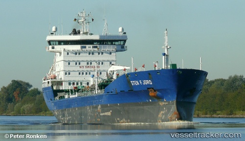
 KIVALLIQ W.
Current Status
Where is the vessel?
KIVALLIQ W. is currently in Near Comfort Cove-Newstead, based on AIS data received about 14h ago.
Latest AIS update:
Current position: 49.38064° N, 54.83056° W (Near Comfort Cove-Newstead)
Average speed (last 7 days): Loading…
Average speed (last 30 days): Loading…
Vessel profile: KIVALLIQ W. is a Oil/Chemical Tanker with dimensions m x m.
This page combines live AIS, route history, probable destination signals, nearby traffic, and port activity for practical vessel monitoring.
The current position of vessel KIVALLIQ W. is 49.38064 lat / -54.83056 lng. Updated: 2026-05-17 22:13:24 UTCNearest reference points:
- Near Catalina
- 17 nm NE of Marystown
- Near Argentia
Currently sailing under the flag of Marshall Islands ![]()
Details:
Live Vessel KIVALLIQ W. Analytics (details, animations, etc.)
Recent AIS points (UTC):
2026-05-17 19:04:19 UTC · 49.37960, -54.83125 · SOG 0.1 kn · COG 310°2026-05-17 20:01:19 UTC · 49.38018, -54.83057 · SOG 0.1 kn · COG 286°
2026-05-17 22:04:20 UTC · 49.38067, -54.83055 · SOG 0 kn · COG 265°
2026-05-17 22:13:24 UTC · 49.38064, -54.83056 · SOG 0 kn · COG 268°