 CHRISTINA
Current Status
Where is the vessel?
CHRISTINA is currently in 46 nm N of Qulaybiyah, based on AIS data received about 14h ago.
Latest AIS update:
Current position: 37.60803° N, 11.02853° E (46 nm N of Qulaybiyah)
Average speed (last 7 days): Loading…
Average speed (last 30 days): Loading…
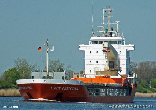
Vessel profile: CHRISTINA is a General Cargo with dimensions m x m.
This page combines live AIS, route history, probable destination signals, nearby traffic, and port activity for practical vessel monitoring.
The current position of vessel CHRISTINA is 37.60803 lat / 11.02853 lng. Updated: 2026-06-30 04:17:09 UTCNearest reference points:
- 32 nm N of Qulaybiyah
- 13 nm N of Qulaybiyah
- Near Le Kram
Currently sailing under the flag of Antigua and Barbuda ![]()
Details:
Live Vessel CHRISTINA Analytics (details, animations, etc.)
Recent AIS points (UTC):
2026-06-30 00:01:40 UTC · 37.90852, 10.12373 · SOG 11 kn · COG 111°2026-06-30 01:48:12 UTC · 37.79107, 10.50859 · SOG 11.1 kn · COG 116°
2026-06-30 02:07:29 UTC · 37.76800, 10.57874 · SOG 10.9 kn · COG 116°
2026-06-30 04:17:09 UTC · 37.60803, 11.02853 · SOG 10.6 kn · COG 116°