 STORM I
Current Status
Where is the vessel?
STORM I is currently in 21 nm E of Orzola, based on AIS data received about 14h ago.
Latest AIS update:
Current position: 29.26029° N, 13.05441° W (21 nm E of Orzola)
Average speed (last 7 days): Loading…
Average speed (last 30 days): Loading…
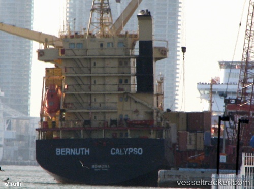
Vessel profile: STORM I is a General Cargo Ship with dimensions 19m x 101m.
This page combines live AIS, route history, probable destination signals, nearby traffic, and port activity for practical vessel monitoring.
The current position of vessel STORM I is 29.26029 lat / -13.05441 lng. Updated: 2026-07-01 02:17:42 UTCNearest reference points:
- Near Lanzarote
- Near LAS COLORADAS
- 58 nm N of Caleta de Sebo
Currently sailing under the flag of Panama ![]()
STORM I built in 1999 year
Deadweight:
6962 tDetails:
Live Vessel STORM I Analytics (details, animations, etc.)
Recent AIS points (UTC):
2026-06-30 22:39:22 UTC · 29.92557, -12.79210 · SOG 11.6 kn · COG 195°2026-06-30 23:32:51 UTC · 29.75937, -12.85080 · SOG 11.7 kn · COG 195°
2026-07-01 01:02:42 UTC · 29.48709, -12.95246 · SOG 11.4 kn · COG 198°
2026-07-01 02:17:42 UTC · 29.26029, -13.05441 · SOG 11.3 kn · COG 207°