 vesseltracker.com
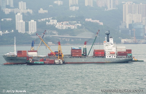
 SM JAKARTA
Current Status
Where is the vessel?
SM JAKARTA is currently in 44 nm SW of Nam Can Port, based on AIS data received less than 1h ago.
Latest AIS update:
Current position: 8.52042° N, 104.34781° E (44 nm SW of Nam Can Port)
Average speed (last 7 days): Loading…
Average speed (last 30 days): Loading…
Vessel profile: SM JAKARTA is a Container Ship with dimensions m x m.
This page combines live AIS, route history, probable destination signals, nearby traffic, and port activity for practical vessel monitoring.
The current position of vessel SM JAKARTA is 8.52042 lat / 104.34781 lng. Updated: 2026-04-20 13:20:55 UTCNearest reference points:
- 30 nm E of Dai Hung (STS Load)
- 68 nm S of Nam Can Port
- 23 nm E of Muda Marine Terminal
Currently sailing under the flag of South Korea ![]()
Details:
Live Vessel SM JAKARTA Analytics (details, animations, etc.)
Recent AIS points (UTC):
2026-04-20 10:28:31 UTC · 8.41083, 104.48195 · SOG 18.7 kn · COG 313°2026-04-20 10:43:24 UTC · 8.46021, 104.42090 · SOG 18.9 kn · COG 311°
2026-04-20 12:25:57 UTC · 8.48307, 104.39360 · SOG 18.9 kn · COG 311°
2026-04-20 13:20:55 UTC · 8.52042, 104.34781 · SOG 18.7 kn · COG 307°