 vesseltracker.com
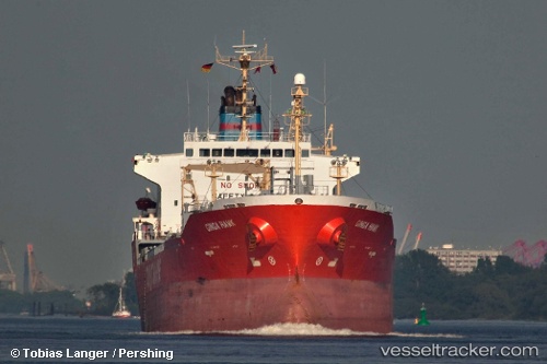
 DILIGENT STAR
Current Status
Where is the vessel?
DILIGENT STAR is currently in 36 nm SE of Hososima Ko, based on AIS data received about 14h ago.
Latest AIS update:
Current position: 32.17442° N, 132.32037° E (36 nm SE of Hososima Ko)
Average speed (last 7 days): Loading…
Average speed (last 30 days): Loading…
Vessel profile: DILIGENT STAR is a Oil/Chemical Tanker with dimensions m x m.
This page combines live AIS, route history, probable destination signals, nearby traffic, and port activity for practical vessel monitoring.
The current position of vessel DILIGENT STAR is 32.17442 lat / 132.32037 lng. Updated: 2026-05-18 07:26:52 UTCNearest reference points:
- 19 nm SW of Sukumowan
- Near Hyuga
- 11 nm E of SAEKI
Currently sailing under the flag of Saint Kitts and Nevis ![]()
Details:
Live Vessel DILIGENT STAR Analytics (details, animations, etc.)
Recent AIS points (UTC):
2026-05-18 03:26:12 UTC · 32.11077, 132.40245 · SOG 1.3 kn · COG 183°2026-05-18 04:25:31 UTC · 32.12598, 132.38509 · SOG 1.2 kn · COG 186°
2026-05-18 05:51:02 UTC · 32.14844, 132.35664 · SOG 1.5 kn · COG 202°
2026-05-18 07:26:52 UTC · 32.17442, 132.32037 · SOG 1.6 kn · COG 204°