 vesseltracker.com
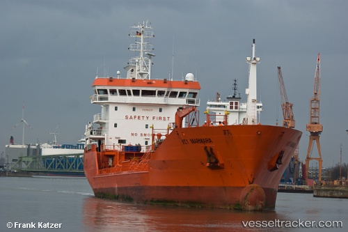
Key Marmara
Current StatusWhere is the vessel?
Key Marmara is currently in 15 nm N of Grisslehamn, based on AIS data received less than 1h ago.
Latest AIS update:
Current position: 60.33461° N, 19.00210° E (15 nm N of Grisslehamn)
Average speed (last 7 days): Loading…
Average speed (last 30 days): Loading…
Vessel profile: Key Marmara is a Chemical Oil Products Tanker with dimensions 17m x 105m.
This page combines live AIS, route history, probable destination signals, nearby traffic, and port activity for practical vessel monitoring.
The current position of vessel Key Marmara is 60.33461 lat / 19.00210 lng. Updated: 2026-05-15 07:10:17 UTCNearest reference points:
- Near GRADDO
- Near Hallstavik
- Near Östhammar
Details:
Live Vessel Key Marmara Analytics (details, animations, etc.)
Recent AIS points (UTC):
2026-05-15 04:02:07 UTC · 60.65937, 19.91461 · SOG 12.6 kn · COG 260°2026-05-15 04:40:58 UTC · 60.61814, 19.65124 · SOG 12.6 kn · COG 250°
2026-05-15 06:18:18 UTC · 60.50733, 18.99874 · SOG 12.6 kn · COG 243°
2026-05-15 07:10:17 UTC · 60.33461, 19.00210 · SOG 12.4 kn · COG 174°